FEMA flood maps cause ‘misunderstanding’ among some homeowners, leaving millions without insurance, experts say
(ABC) — On the morning of Sept. 27, 2024, Liz Barker’s phone lit up with a flash flood emergency notification.
Barker, a midwife in North Carolina, knew there had been bad weather brewing; when she finished her clinical shift the night before, she remembers joking with the other nurses that even the impending storm couldn’t stop them from getting home from their long shifts.
But this early-morning alert on her phone was even more urgent: There was a mandatory evacuation in place for her home in Swannanoa, just outside Asheville. Barker quickly packed a bag and piled into the car with her teenage daughter and their dog.
“I definitely didn’t anticipate things to be nearly as bad as they actually became,” Barker recalls.
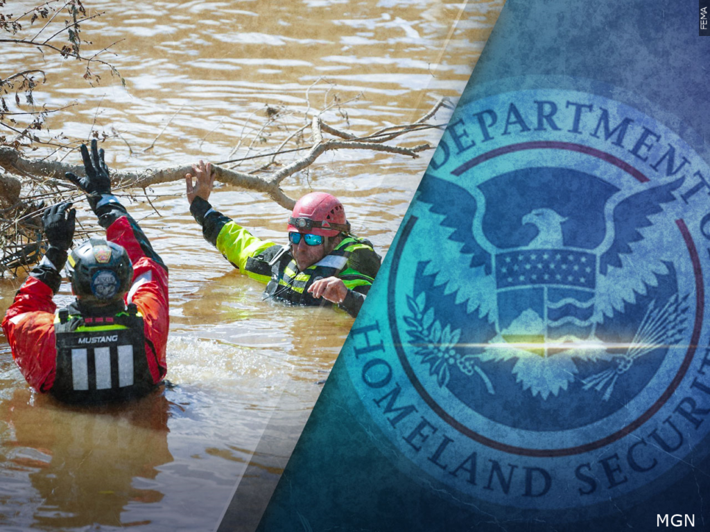
The Swannanoa River, across Highway 70 from Barker’s street, rose to historic levels after Hurricane Helene dumped intense rainfall on the Appalachian region, after the area had already been hit by a storm just days before. Floodwaters swept through the houses in Barker’s neighborhood and her home was submerged up to the attic.
In the days that followed, once the water subsided enough for her to return to her street, Barker would find that her house suffered catastrophic damage that left it uninhabitable.
‘Never in a million years’
Barker, along with most of her neighbors, did not have flood insurance. She told ABC News that 24 homes on her street were flooded to the gutters, and of those 24, only one family had flood insurance. And her neighborhood was not alone: According to the Insurance Information Institute, an industry trade group, less than 1% of the homes in Buncombe County carried federal flood insurance when Hurricane Helene hit.
“I never in a million years thought that we would get flooded from the river,” Barker told ABC News.
Barker had previously looked into purchasing flood insurance, she says, after a tropical storm pummeled her area in 2021, caused flooding on the street and in her yard. But as a single parent with a teenager at home, she was deterred by the high cost of what felt to her at the time like a low risk. And flood insurance was not required for Barker, because on flood maps maintained by the Federal Emergency Management Agency, her home did not fall within a Special Flood Hazard Area.
FEMA’s maps, according to the agency, are not predictions of where it will flood. But if a home does fall within an Special Flood Hazard Area, it is a requirement for the homeowner to carry flood insurance on a federally backed mortgage.
Susan Crawford, a former Harvard Law School professor who’s written several books on climate issues, told ABC News that FEMA flood maps are “seen by the public now as sort of binary representations of risk,” where the perception from some property owners is, “If I’m inside the area, then I face risk and should get flood insurance. If I am outside, I don’t need to.”
This, Crawford says, is not true. And because of this misconception, experts estimate that “tens of millions of Americans are not carrying flood insurance when they really should be,” according to Crawford.
‘A big misunderstanding’
Ed Kearns, formerly the chief data officer at the National Oceanic and Atmospheric Administration, told ABC News, “There’s a big misunderstanding in America of what being in a FEMA flood zone means.”
Kearns is now the chief science officer at First Street, one of several companies offering services assessing how climate risks may impact their homes and businesses. The firm, which was recently acquired by the financial services firm MSCI, uses proprietary modeling to create their own publicly available property risk assessments and maps, which Kearns says differ from FEMA’s publicly available maps because First Street also incorporates heavy rainfall and climate change into their modeling.
This means that in some locations, First Street’s analysis shows a different level of flood risk than FEMA’s maps.
Kearns says FEMA does use proprietary data that includes heavy rainfall to evaluate risk and better determine pricing for the government’s federally-supported National Flood Insurance Program. But the data isn’t public-facing; it can only be seen by current homeowners or by someone purchasing a flood insurance plan, and it isn’t reflected in most of FEMA’s readily available flood maps.
FEMA vows to work ‘directly with communities‘
FEMA officials told ABC News the agency is working to revise some of its flood maps, a process that it says takes at least 18 months, and that it “works directly with communities to ensure local knowledge and data sources — including recent mitigation projects — are reflected in every update.”
“Currently, the agency is managing approximately 1,000 active projects nationwide,” agency officials said. “While maintaining its standard mapping approach, FEMA is also modernizing its modeling to provide a more comprehensive view of flood risk that extends beyond traditional regulatory boundaries.”
Crawford, however, said that though FEMA may be updating its maps, some of the updates “still aren’t looking at rainfall risk, at future conditions risk, showing where development is going to increase risks of flooding, or at climate change, at what’s coming increasingly rapidly along our coasts and next to our rivers.”
The map for Barker’s area, according to FEMA’s website, was released in January 2010, with minor revisions made in the years since.
Following the damage to her home, Barker received assistance from a nonprofit group, as well as donations from an online fundraising platform and support from her family and friends, to build back her house.
Today — after nearly two years of paying rent for temporary housing in addition to her mortgage — Barker is finally starting the process of moving her family back into their rebuilt home.