Natrx, NC Coastal Federation embark on AI-driven assessment of coastline erosion and carbon
WILMINGTON, NC (WWAY) — A North Carolina resilience and restoration technology innovator is partnering with the NC Coastal Federation to develop a high-resolution analysis of the entire North Carolina coast to offer insights into how shoreline change is affecting coastal ecosystems and where restoration can have the greatest impact.
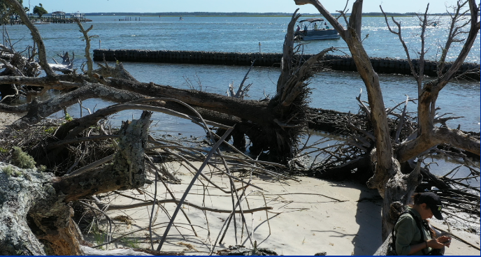
The analysis is being conducted with Natrx’s proprietary technology platform, using its specially designed Assess toolset. Powered by advanced AI and remote-sensing technologies, Natrx Assess will conduct a precise change analysis spanning more than 4,000 square miles to deliver a new level of insight into shoreline change and ecosystem impacts.
“This level of decision-ready, coastwide data has never been available before,” said Jacob Boyd, Salt Marsh Program Director for the Coastal Federation. “With the results of Natrx’s assessment, we will have the insight needed to direct resources where they will have the greatest impact. This means more effective restoration, stronger protection, and a powerful foundation for future projects along North Carolina’s coast.”
Within one year, Natrx will provide comprehensive and detailed data insights to the Coastal Federation, pinpointing where coastal restoration efforts will achieve the greatest return on investment through advanced erosion analysis, carbon spatial modeling, and ultra-high-resolution wetland mapping.
Natrx representatives say: until now, there was no practical way to assess and prioritize coastal ecosystems at this speed and scale.
“Think about sending highly trained specialists in boats out to, understand and create deep data about what’s going on along the entire coast of North Carolina,” said Dylan DiDona with Natrx. “That would take years.”
While field teams provide invaluable site-specific detail, the Natrx approach fills a critical gap by enabling timely, landscape-scale reporting to guide coastal protection priorities.
“We also are looking back 15 years to be able to understand trends,” DiDona said, adding: “We can know within a year what are the trends over the past 15 years, pass this on to the North Carolina Coastal Fed, so they can begin to say, okay, now we have priorities for where we’re going to spend our money and how we can begin to save these wetlands.”
This analysis is part of a larger effort led by the Atlantic Conservation Coalition, which includes state governments in Maryland, North Carolina, South Carolina, and Virginia, in addition to The Nature Conservancy, Coastal Federation, and eighteen additional organizations. Funded by a grant awarded by the U.S. Environmental Protection Agency in fall 2024, the Coalition is advancing dozens of projects to protect and restore high-carbon coastal habitats, peatlands, and forested land.
“This is exactly the kind of expansive, bold initiative we intended when we created Natrx Assess. Our platform transforms how coastal experts approach complex, large-scale questions, delivering clear, actionable insights quickly. By dramatically reducing the time, cost and field hours typically required, we’re helping coastal leaders make smarter decisions faster, allowing for more efficient use of limited resources,” said Leonard Nelson, Natrx CEO. “Through this effort, North Carolina is positioning itself at the forefront of coastal resilience and wetland restoration.”
When the Natrx Assess process is complete, the Coastal Federation will have:
- High-fidelity erosion datasets for large swaths of North Carolina’s coastline in the most pivotal areas, providing a deep understanding of North Carolina’s coastal wetlands distribution and recent patterns of land gains and losses.
- A comprehensive understanding of design trade-offs for high-opportunity sites, with a focus on optimizing fund allocation to maximize benefits.
- A strategy for which sites to prioritize for protection or restoration efforts.
- An examination of areas most vulnerable to erosion and how protecting these areas can help reduce greenhouse gas emissions, using common standards for measuring carbon benefits, like the REDD+ system.