Increasing rain chances for today
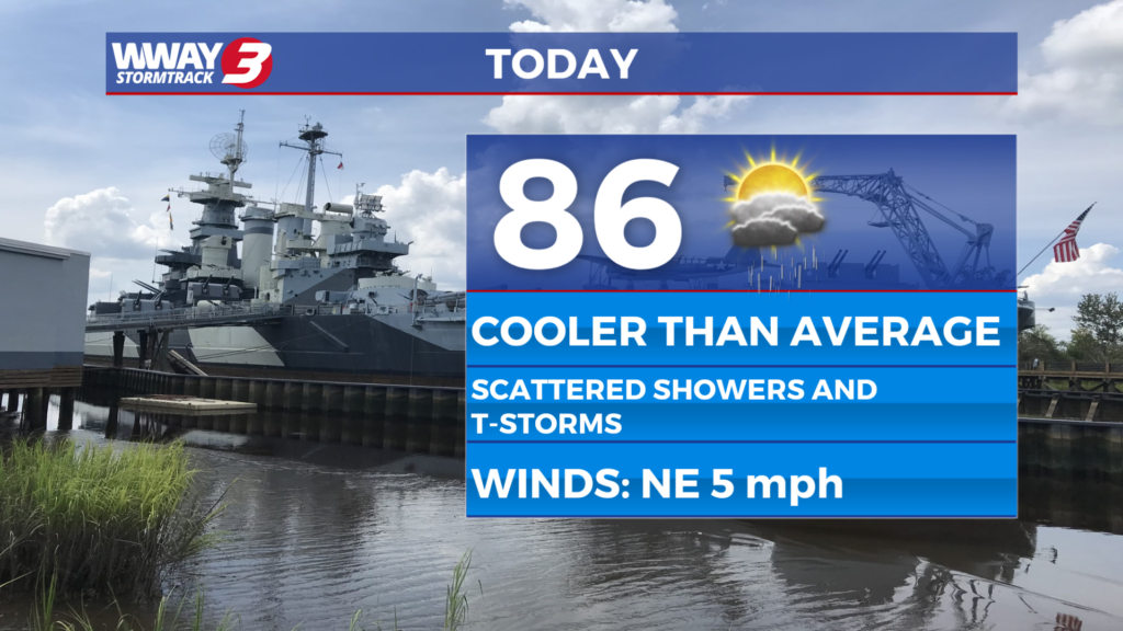
(WWAY) — Rain chances return this afternoon with temperatures below average.
A stalled frontal boundary will remain across the region through Tuesday, bringing increased chances for showers and thunderstorms while providing a welcome break from the recent heat. High temperatures today and Tuesday will be closer to the average, ranging from the upper 80s to around 90 degrees, with scattered afternoon showers and thunderstorms expected each day. By midweek, the front will move away as a ridge of high pressure builds over the Southeast, allowing heat and humidity to return. Temperatures will begin climbing on Thursday, with afternoon highs reaching the mid to upper 90s.
WWAY FORECAST:
Monday: Scattered showers and thunderstorms. Not as hot. High in the middle to upper 80s.
Tuesday: A chance for showers and storms. High in the middle to upper 80s.
Wednesday: A few isolated showers and storms in the afternoon. Seasonable high temps in the lower 90s.
-Meteorologist Jason Korver