Flood Watch remains in effect as heavy rain, severe storms threaten southeastern North Carolina
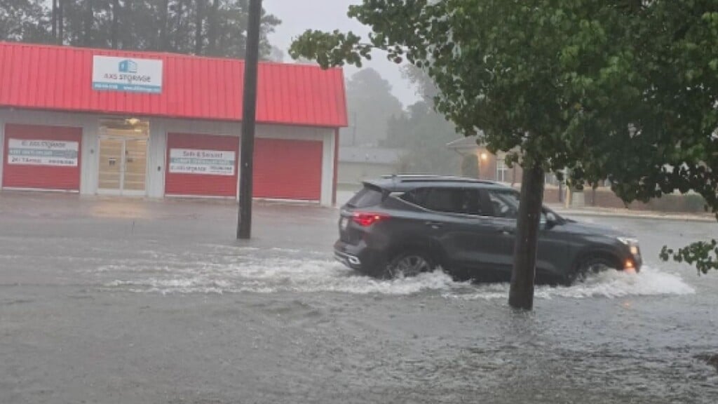
WILMINGTON, NC (WWAY) — The National Weather Service has issued a Flood Watch for much of southeastern North Carolina as forecasters warn that several rounds of heavy rain could bring flash flooding through the weekend.
The Flood Watch is in effect for Robeson, Bladen, Columbus, Inland and Coastal Pender, Inland and Coastal New Hanover, and Inland and Coastal Brunswick counties.
According to the National Weather Service in Wilmington, a nearly stationary front just north of the region is expected to produce periods of heavy rainfall Thursday, with the greatest threat initially focused across northern portions of the area. The risk is forecast to expand across southeastern North Carolina and northeastern South Carolina on Friday and Saturday as the front remains stalled near the region.
Meteorologists say that widespread rainfall totals of 2 to 4 inches are possible, with localized amounts between 4 and 6 inches in some areas, particularly across portions of southeastern North Carolina. The heavy rainfall could lead to rapidly rising water in low-lying and poor-drainage areas, increasing the risk of flash flooding.
Although much of southeastern North Carolina remains in extreme to exceptional drought, the dry conditions do not eliminate the risk of flooding. After prolonged periods without significant rainfall, soil can become hardened and less able to absorb water quickly. When heavy rain falls in a short period, more water runs off the surface instead of soaking into the ground, increasing the potential for flash flooding, especially in urban areas and low-lying locations with poor drainage.
Residents are urged not to drive through flooded roadways.
In addition to the flood threat, the Storm Prediction Center has issued a Marginal Risk (Level 1 of 5) for severe thunderstorms Thursday afternoon through Thursday evening across southeastern North Carolina and northeastern South Carolina.
The primary hazard from any severe storms will be damaging wind gusts of up to 60 mph. Isolated downed trees, power lines and minor structural damage are possible. Heavy rain associated with thunderstorms could also contribute to localized flooding.
Along the coast, a Beach Hazards Statement remains in effect Thursday for east-facing beaches because of a strong south-to-north longshore current. A moderate risk of rip currents is also forecast for all area beaches.
Stay weather aware as we head into a rainy end to our week.