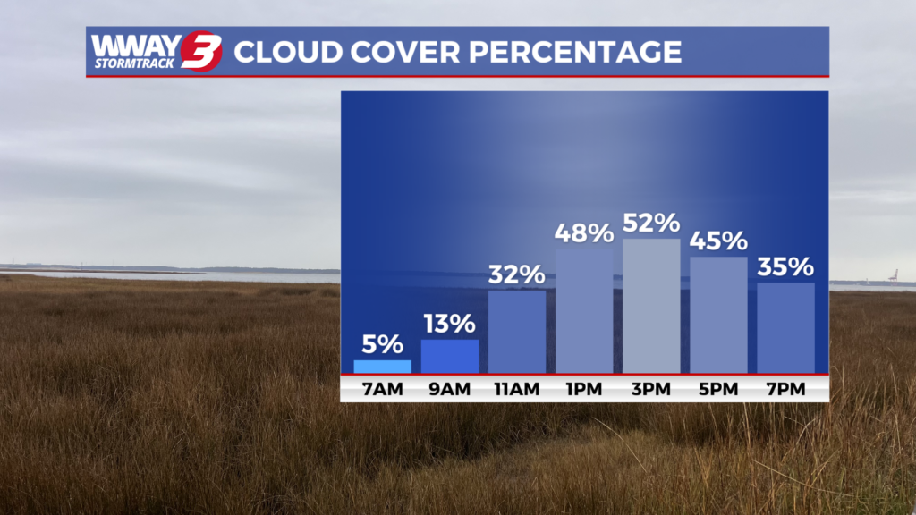
Increasing clouds for today
(WWAY) — A cold front approaches our area tomorrow with increasing clouds for today.
High pressure nudges east today while a cold front approaches the Appalachians bringing sunshine and clouds mixed in the Cape Fear with a continued warming trend as highs reach the lower 80s along with breezy S/SW winds. The cold front approaches Thursday and moves through late in the day or the evening. It will bring back some much needed rain chances with scattered showers and a chance of thunderstorms with highs around or a little over 80. The Storm Prediction Center has a marginal (level 1/5) risk of a strong or severe thunderstorm with gusty winds the main concern. Behind this front Friday… weak high pressure builds in bringing cooler highs and drier air. Look for partly cloudy skies with only a slight chance of a shower and highs in the lower 70s. Saturday will bring the possibility of a few rain showers and seasonable highs in the upper 70s to near 80. Rain forecast amounts Thursday through Saturday could range from a half inch to one inch. The high pressure moves offshore Sunday with sunshine and clouds and warmer highs in the lower 80s. Another cold front swings into the region next Monday bringing another chance of scattered showers and thunderstorms and highs again in the lower 80s.
WWAY FORECAST:
Today: Sunshine and clouds mixed. Warm and breezy high in the lower 80s. Winds south becoming southwest around 15 mph with occasional gusts to 25 mph.
Tonight: Mostly cloudy with a few showers developing late. An isolated thunderstorm is possible. Mild and muggy low in the upper 60s.
Thursday: Mostly cloudy with scattered showers and a chance of thunderstorms. High around or a little over 80.
Friday: Partly sunny skies with temperatures warming into the lower 70s.