Increasing rain chances for this weekend
(WWAY) — Another dry day today as rain chances are expected for tomorrow night.
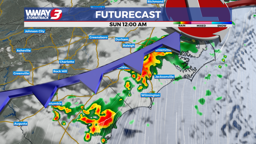
Not much change today compared to yesterday as we will have mostly sunny skies continuing and warm highs in the upper 80s. A cold front will approach and then move through the Carolinas this weekend bringing a chance of much needed showers or a thunderstorm… mainly Saturday evening and night into portions of Sunday. Look for plenty of morning sunshine followed by increasing afternoon cloudiness with a slight chance of showers or a thunderstorm and warm highs in the upper 80s. Scattered showers or a thunderstorm Saturday night will give way to a few showers Sunday morning as the front passes offshore. It will be cooler and drier Sunday afternoon with a high in the upper 70s. Behind this front on Monday… weak high pressure will build down from the north bringing sunshine and clouds with highs again in the upper 70s. Rain chances go back up next Tuesday as a warm front passes through the region with clouds and partial sunshine along with widely scattered showers and perhaps an isolated thunderstorm and highs around or a little over 80. Next Wednesday brings partly cloudy skies and an isolated shower possible and highs in the lower 80s. Relatively light rainfall totals continue over the next 7 days… with only a quarter to half an inch of rain expected. Unfortunately… it will not be enough to relieve the ongoing severe drought in place.
WWAY FORECAST:
Today: Mostly sunny skies. Continued warm and dry with a high in the upper 80s. Winds southwest at 10-15 mph.
Tonight: Mostly clear and mild. Low in the lower 60s.
Saturday: Plentiful morning sunshine giving way to increasing afternoon cloudiness with a slight chance of showers or a thunderstorm. Warm high in the upper 80s.
Sunday: Showers in the morning, partly cloudy skies into the afternoon. Temperatures into the upper 70s.
-Meteorologist Jason Korver