Rain chances expected today
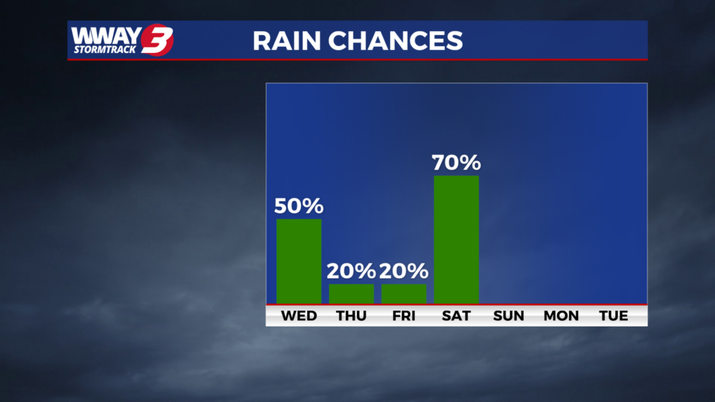
(WWAY) — Rain showers return today with more showers this weekend.
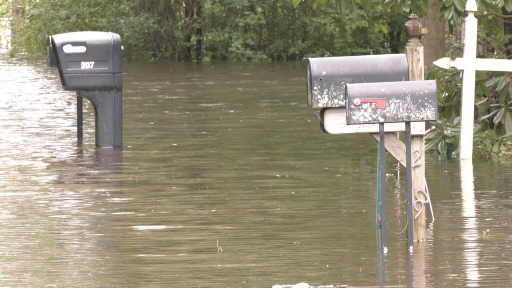
A warm front moves north of the region today while a cold front approaches and moves into the Carolinas. This will bring a return to some much needed unsettled weather with mostly cloudy skies and scattered showers with a chance of thunderstorms and highs in the upper 70s. Rainfall totals could average around a quarter of an inch. Also… there is a marginal risk in our northern areas for strong or severe thunderstorms in the afternoon and evening with strong winds. Behind this system Thursday… look for sunshine and clouds with a slight chance of a shower mainly in the morning and seasonable highs in the upper 70s. More of the same Friday as weak high pressure ridges in from the west bringing partly cloudy skies and maybe an isolated shower and highs in the lower to mid 70s. A frontal boundary and waves of low pressure will impact the area Friday night into Saturday night bringing occasional showers and locally heavy downpours with cooler highs in the upper 60s. Rainfall totals Saturday and Saturday night could be healthy… an inch to an inch an a quarter possible. High pressure builds back in Sunday into Monday bringing a return to dry weather. Look for pleasant highs around or a little over 70 Sunday warming into the upper 70s next Monday.
WWAY FORECAST:
Today: Mostly cloudy with scattered showers and a chance of thunderstorms. Seasonable high in the upper 70s. Winds southwest at 10-15 mph.
Tonight: A chance of evening showers or thunderstorms. Mostly cloudy skies. Low around 60.
Thursday: A slight chance of mainly morning showers. Decreasing afternoon cloudiness. High in the upper 70s.
Friday: Partly cloudy skies with increasing showers overnight. Temperatures into the lower 70s.
-Meteorologist Jason Korver