Rainy weather expected for Saturday
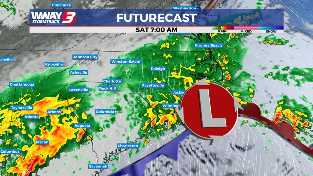
(WWAY) — The Cape Fear will receive much needed rain on Saturday.
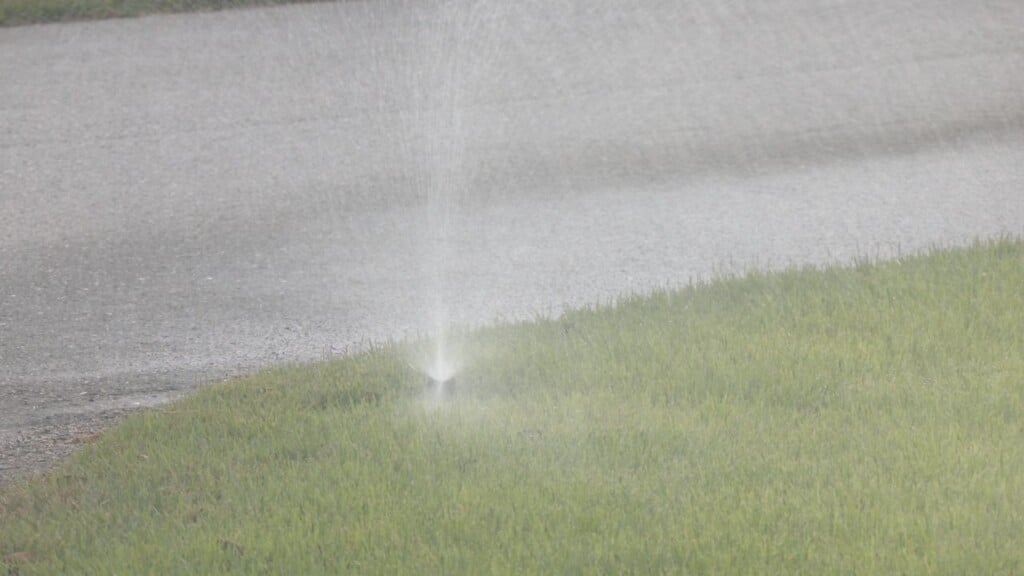
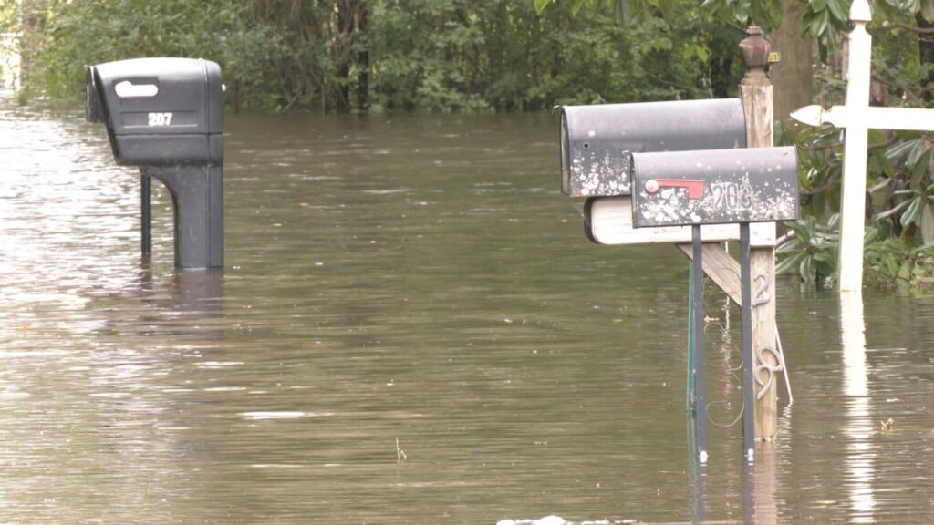
A frontal boundary today will combine with low pressure organizing offshore the Georgia and South Carolina coast to bring mostly cloudy skies with a few afternoon showers potentially developing and highs recovering into the lower to mid 70s. The frontal boundary and low pressure will impact the region tonight into Saturday bringing the best chance of rainfall in quite some time. Look for an increasing coverage of wet weather tonight with widespread rain likely Saturday and tapering off Saturday night. Highs Saturday will be cooler in the upper 60s. Rainfall totals tonight and Saturday will help with the overall drought… with just over an inch possible. High pressure builds back in Sunday into Monday bringing a return to dry weather. Look for pleasant highs around or a little over 70 Sunday warming into the mid to upper 70s Monday. Next Tuesday will bring warmer weather with mostly sunny skies and highs around 80. A weakening front approaches North Carolina next Wednesday bringing partly cloudy skies with a slight chance of showers and warm highs in the lower 80s.
WWAY FORECAST:
Today: Mostly cloudy with a few afternoon showers possible. High in the lower to mid 70s. Winds northeast becoming east around 10 mph.
Tonight: Scattered evening showers… then rain likely late. Cloudy skies. Low in the mid 50s.
Saturday: Widespread rainfall with cloudy skies. Cooler high in the upper 60s.
Sunday: Partly to mostly sunny skies with temperatures into the lower 70s.