WEATHER DISCUSSION AND FORECAST
03/31/2026
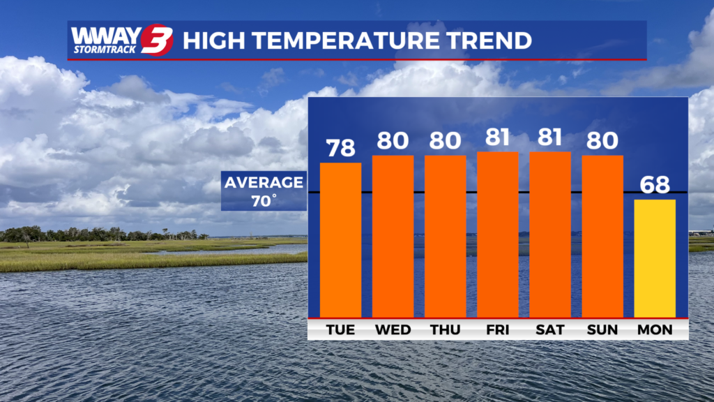
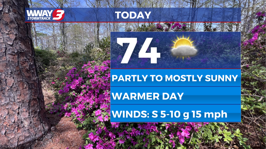
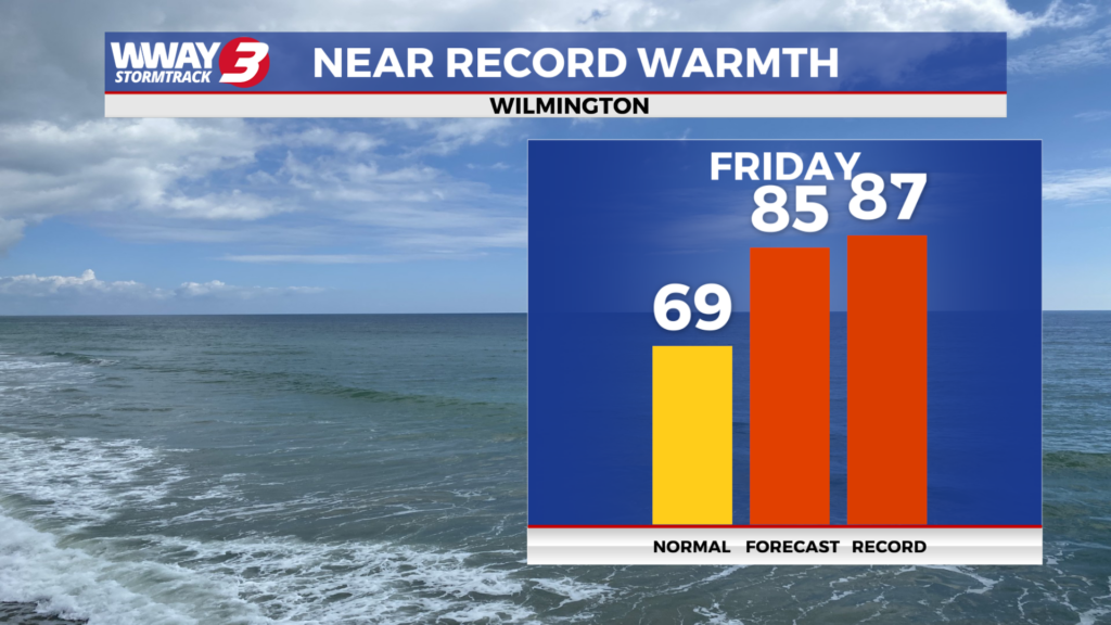
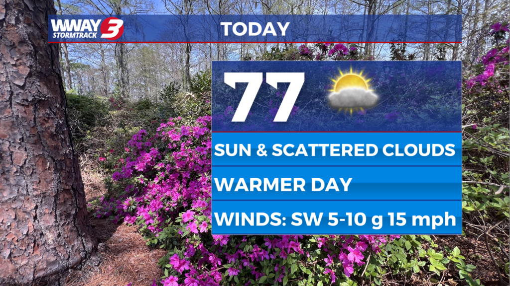
WEATHER DISCUSSION: Strong Atlantic high pressure is ridging into the southeast states on this Tuesday afternoon bringing very nice weather here in the Cape Fear. We are enjoying sunshine and a few clouds with temps from the upper 70s to near 80 inland… to the lower 70s along the coast. Tonight will bring mostly clear skies and comfortable lows in the upper 50s to around 60. Subtropical high pressure will remain in charge Wednesday bringing sunshine and scattered cloudiness with pleasant highs around 80. Very little change is expected for late week with partly cloudy skies Thursday and Friday with nice and warm highs around or a little over 80. Increasing rain chances are expected as we get into the weekend and on Sunday as a cold front moves through the region. With ongoing moderate to severe drought across the Cape Fear continued mainly dry weather over the next few days, be very careful with flame and follow any local burn bans in place.
WWAY FORECAST:
Tonight: Mostly clear and comfortable. Low in the upper 50s to around 60. Winds south around 5 mph.
Wednesday: Sunshine and scattered cloudiness. A pleasant day with a high around 80. Winds south around 10 mph.
Wednesday Night: Fair skies and continued comfortable. Low in the upper 50s to around 60.
Thursday: Partly cloudy skies. A nice and warm day with a high around 80.
-Chief Meteorologist Lee Haywood
To view the full 7-day forecast, click HERE.
You can follow the StormTrack 3 weather team on social media!
Chief Meteorologist Lee Haywood: FACEBOOK – X (TWITTER)
Meteorologist Jason Korver: FACEBOOK – X (TWITTER)
Meteorologist Charles McKeller: FACEBOOK–X (TWITTER)
Keep track of the very latest StormTrack 3 forecasts and anytime severe weather threatens the area on Facebook and Twitter, and on-air by streaming us live!


