Near average temperatures today
(WWAY) — Near average temperatures expected as hot and humid weather arrive this holiday weekend.
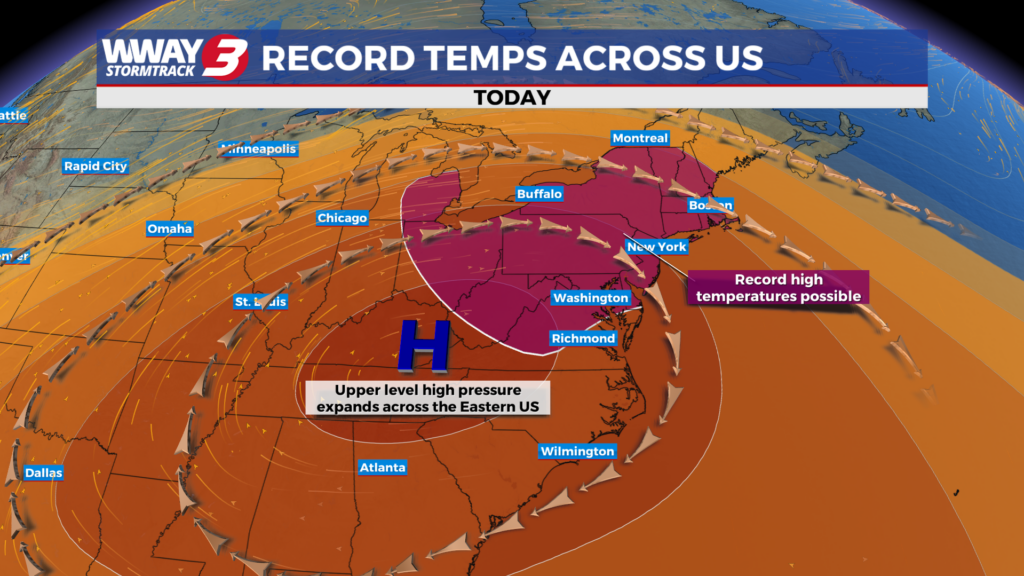
High pressure remains the main weather feature for the next couple of days with mostly sunny skies and very warm highs around or a little over 90 today then heating up to the lower 90s Thursday. Our pattern changes by the end of the week as a strong upper-level ridge brings high heat and moderate humidity under rain-free skies. Look for sunshine and a few clouds with highs Friday in the middle 90s and upper 90s for highs by Independence Day Saturday. Heat indices will reach as high as 104 Friday but could soar to near 110 in some spots Saturday. Heat exhaustion or heat stroke could occur with these type numbers and with many outside for the holiday… take breaks in the AC… stay hydrated and wear loose fitting and light-colored clothing. By Sunday a trough and perhaps wave of low pressure in the Carolinas could help bring a return to isolated showers or thunderstorms locally otherwise it will remain very hot and humid with highs in the mid to upper 90s. Next Monday… the good news is a better chance of showers and thunderstorms works back into the region hopefully bringing some much-needed rainfall… however it will still be very hot with highs in the upper 90s.
WWAY FORECAST:
Today: Mostly sunny and very warm. High around or a little over 90. Winds northeast becoming east at 5-10 mph.
Tonight: Mostly clear… rather warm and muggy. Low in the lower 70s.
Thursday: Sunshine and a few clouds. Rather hot and humid with a high in the lower 90s. Heat indices in the afternoon reaching as high as the upper 90s.
Friday: Hot and humid weather with mostly sunny skies.
– Meteorologist Jason Korver