Tropical impacts expected in the Cape Fear this week
WILMINGTON, NC (WWAY)– The tropics are heating up, and later this week the Cape Fear will feel impacts from not one, but two tropical systems.
The peak of hurricane season is upon us, with two active storms in the Atlantic.
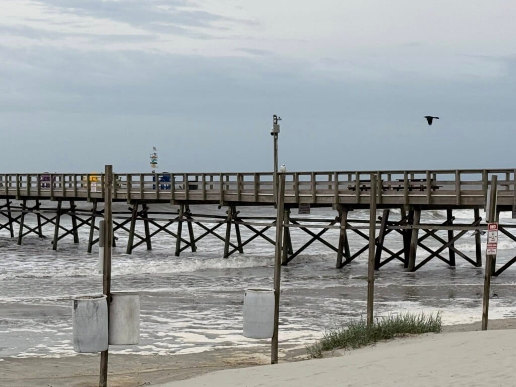
Hurricane Franklin is gradually intensifying in the offshore Atlantic, bringing increased swells and dangerous rip currents to Cape Fear beaches.
“We are already about to experience increased swells from Hurricane Franklin offshore to the east. Which is already bringing some heinous, life threatening rip currents to the local beaches. Which we’re expecting that to occur at least until Thursday or so,” said Ian Boatman, NWS Wilmington Meteorologist.
In addition to Franklin, Idalia is expected to churn up the coast later this week.
Dozens of surfers were out in the water in Wrightsville Beach Monday, taking advantage of the swells before they become too dangerous.
“The current and the winds from the hurricane coming in just make it a heck of a lot better,” said Hannah Butkus, Wrightsville Beach Surfer. “You can definitely start out back then ride the wave all the way in if you wanted to. The swells and the currents are probably making the waves about 4 to 5 feet right now making it super fun.”
Due to the uncertainly of how bad things could get here, forecasters say the best time to prepare is now.
“Flooding rain. We are expecting a little bit of flooding to result from this storm. That’s a similar story for the winds. Tropical storm force winds, cannot rule that out. Storm surge. Storm surge is still kind of a tricky story with this one, we’re still having questions about the intensity and the track. This is still on the preliminary side right now, but we will see what future forecasts shape out to be,” said Boatman.
Experts advise that you have a plan in place by Tuesday.


