Warm temperatures continue for Thursday
(WWAY) The stretch of warm weather continues today as temperatures warm into the 80s.
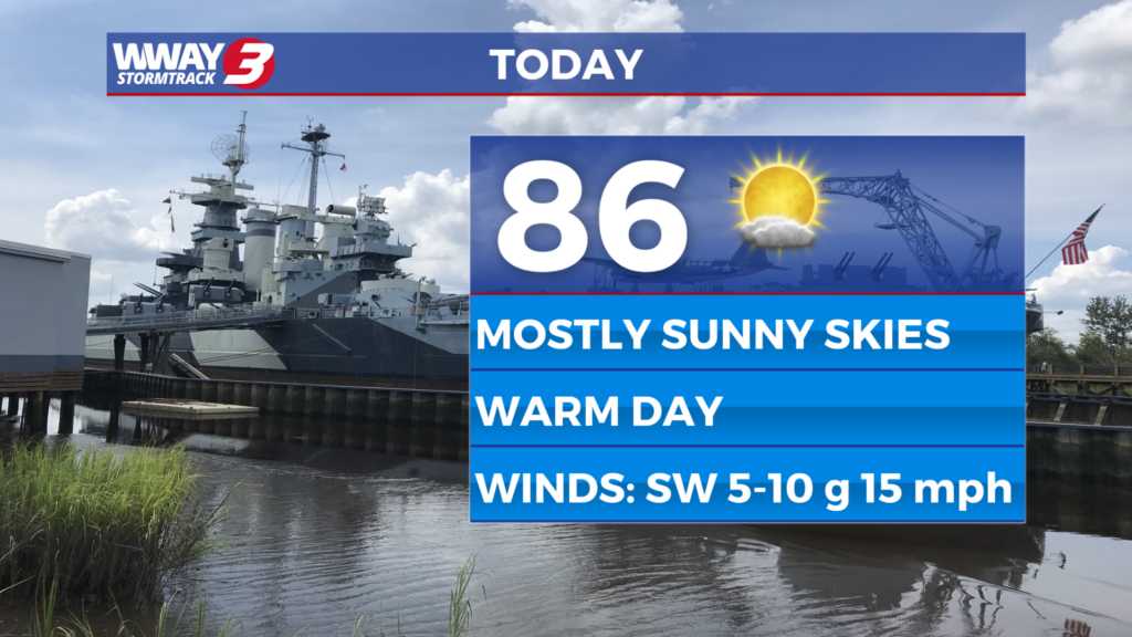
Today will bring very little pattern change with sunshine and a few clouds with very warm highs in the mid to upper 80s.
Friday and Saturday we expect sunshine and scattered clouds at times as high temperatures soar to near record and unseasonable levels reaching the upper 80s to near 90. The daily record is 89 Friday set back in 2006 and 93 Saturday set back in 1976.
Sunday a cold front advances toward the region bringing partly cloudy skies with a slight chance of showers in the afternoon and evening… Highs will reach the middle 80s.
Behind this front next Monday… noticeably cooler air will move in with mostly sunny skies. Lows will bottom out around 50 with afternoon highs around or a little over 70.
High pressure fully dominates next Tuesday bringing plentiful sunshine with chilly lows in the mid to upper 40s and afternoon highs in the lower 70s. The high pressure continues to dominate but shifts offshore next Wednesday leading to mostly sunny skies and milder highs in the upper 70s to near 80.
WWAY FORECAST:
Today: Sunshine and a few clouds. Very warm with a high in the mid to upper 80s. Winds southwest becoming south at 10-15 mph.
Tonight: A few clouds. Mild low in the lower to mid 60s.
Friday: Mostly sunny and rather hot. A near record high in the upper 80s to near 90.
Saturday: Mostly sunny skies with temperatures into the upper 80s to lower 90s.
-Meteorologist Jason Korver