Following heavy rain, check NC flood gauges to see if you may be impacted
SOUTHEASTERN, NC (WWAY) — Several areas in the Cape Fear received around 15 inches of rain from Tropical Storm Debby.
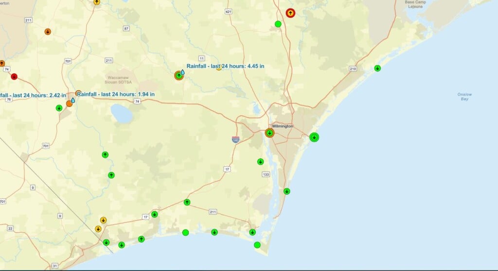
North Carolina has a Flood Inundation Mapping and Alert Network, or FIMAN, to forecast the level of rivers and to make residents aware of rising floodwaters.
FIMAN displays current and forecasted water levels from hundreds of locations throughout the state’s streams and coasts. At some sites, you can see which locations may be impacted by rising waters and make decisions about flood preparedness and response.
Around 3:30 on Thursday afternoon, the water was rising at the Northeast Cape Fear River near Burgaw and was at the ‘near flooding’ stage.
To check out the flood gauges yourself, click here.