Warm temperatures return in the Cape Fear
(WWAY) — Leave the jackets at home today as temperatures return into the 70s for the afternoon.
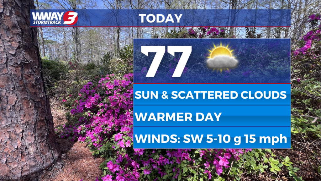
We start this morning into the 50s with some patchy fog and some partly to mostly cloudy skies. Temperatures this afternoon will be back into the upper 70s.
Ahead of a cold front Friday, highs reach the low 80s with a slight chance of late day showers. The best chance of showers will arrive Friday night as the cold front swings through. However, rainfall amounts look meager with perhaps only a few hundredths of an inch at best.
Drier air builds back in this weekend with cooler temps again as strong high pressure ridges in from the west. Look for highs in the lower 60s this weekend under sunshine and scattered cloudiness Saturday and abundant sunshine Sunday.
Early next week the high pressure cell will shift offshore allowing for a nice moderation in temps. Look for plentiful sunshine each day with highs next Monday around or a little over 70 warming into the mid to upper 70s next Tuesday.
WWAY FORECAST:
Today: Patchy fog early. Sunshine and scattered cloudiness. A pleasant high in the mid to upper 70s. Winds southwest around 5 mph becoming south around 10 mph.
Tonight: Mostly clear and comfortable. Low in the upper 50s.
Friday: Sunshine and a few clouds. Warm high in the lower 80s.
Saturday: Decreasing clouds with temperatures into the lower 60s.
-Meteorologist Jason Korver