Near average temperatures today as rain chances expected later this week
(WWAY) — Sunny skies expected today as more rain comes later this week.
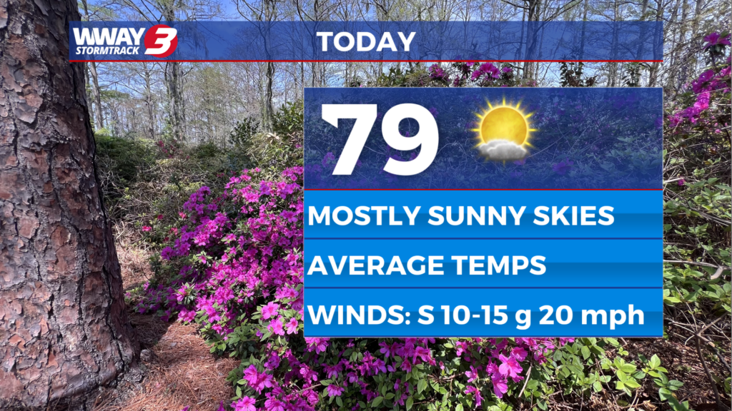
High pressure remains in control today in the Cape Fear bringing pleasant weather with mostly sunny skies and highs in the upper 70s to near 80. The high pressure nudges east Wednesday while a cold front approaches the Appalachians bringing sunshine and clouds locally with a continued warming trend with highs reaching the lower 80s. The cold front approaches Thursday and moves through late in the day or the evening. It will bring back some much needed rain chances with scattered showers and a chance of afternoon/evening thunderstorms with highs around or a little over 80. Behind this front Friday and Saturday… weak high pressure builds in bringing cooler highs and drier air. Look for partly cloudy skies both days with only a slight chance of a shower and highs dropping back into the 70s. Rain forecast amounts Thursday through Saturday could range from a half to three quarters of an inch. The high pressure moves offshore Sunday with sunshine and clouds and warmer highs around or a little over 80.
WWAY FORECAST:
Today: Mostly sunny and pleasant. High in the upper 70s to near 80. Winds south at 5-15 mph.
Tonight: Mostly clear skies. Mild low in the lower 60s.
Wednesday: Sunshine and clouds mixed. Warmer high in the lower 80s.
Thursday: Scattered to numerous showers expected with temperatures into the lower 80s.